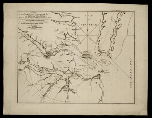
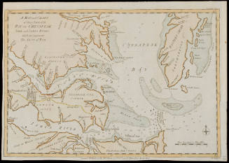
A PLAN/ OF THE ENTRANCE OF CHESAPEAK BAY,/ with JAMES and YORK RIVERS;
DateNovember 26, 1781
Publisher
William Faden (1750-1836)
OriginEngland, London
MediumBlack and white line engraving with period hand color
DimensionsOverall: 19 3/8 × 25in. (49.2 × 63.5cm)
Other (Plate): 21 1/4 × 16 1/4in. (21 1/4 × 16 1/4in.)
Other (Plate): 21 1/4 × 16 1/4in. (21 1/4 × 16 1/4in.)
Credit LineMuseum Purchase
Object number1958-407
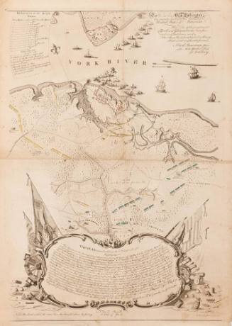
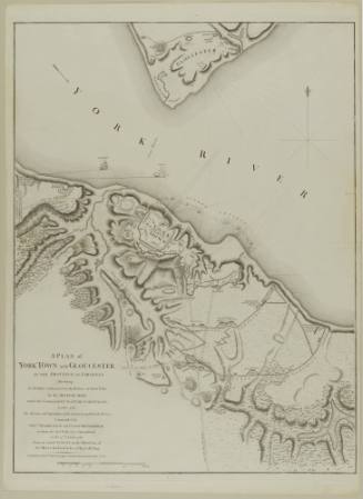
DescriptionFaden's map shows the positions of the British, French, and American troops at the time of Cornwallis' surrender in October 1781.The top left corner reads: "A PLAN/ OF THE ENTRANCE OF CHESAPEAK BAY,/ with JAMES and YORK RIVERS;/ wherein are shown the Respective Positions (in the beginning of October)/ 1.o OF THE BRITISH ARMY Commanded by LORD CORNWALLIS,/ AT GLOUCESTER and YORK in Virginia;/ 2.o of the American and French Forces under General Washington;/ 3.o and of the French Fleet under Count de Grasse./ By an officer."
The scale reads: "Scale of Miles/ LONDON./ Publish'd by W.m Faden Charing Cross, Nov.r 26.th 1781."
ProvenanceBefore 1958, the Old Print Shop (New York,NY); 1958-present, purchased by the Colonial Williamsburg Foundation (Williamsburg, VA).

Joseph Frederick Wallet Des Barres
1782



ca. 1825
John Lodge (fl. 1754-1796)
1781