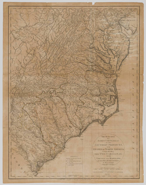
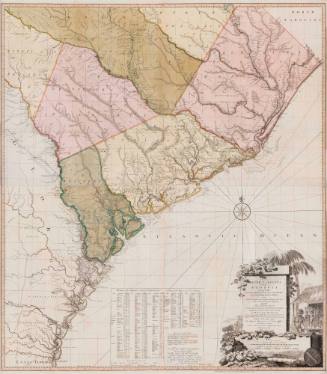
The Marches of Lord Cornwallis in the Southern Provinces, Now States of North America: Comprehending the Two Carolinas, with Virginia and Maryland, and the Delaware Counties
Date1787
Maker
William Faden (1750-1836)
Secondary Maker
General Sir Banastre Tarleton (1754-1833)
OriginEngland, London
MediumLine engraving on laid paper
DimensionsOverall: 26 3/8 × 20 9/16 in (66.99 × 52.23cm)
Credit LineGift of Bruce Grissom
Object number2025-115
DescriptionThe cartouche reads, "The Marches/ of/ Lord Cornwallis/ in the Southern Provinces,/ Now/ States of North America./ Comprehending/ The Two Carolinas/ With/ Virginia and Maryland,/ and the Delaware Counties./ By William Faden/ Geographer to the King."Label TextThis map depicts the southern theatre of the American Revolution, including routes by British generals, such as General Cornwallis and Banastre Tarleton. The map was originally inserted in Tarleton's "A History of the Campaigns of 1780 and 1781, in the Southern Provinces of North America." After Tarleton lost the Battle of Cowpens in 1781, he used this book to explain his actions, citing American bravery and shifting blame to the misbehavior of his troops, instead of his own actions.ProvenanceBefore 2025, Bruce Grissom (Raleigh, NC); 2025-present, given to the Colonial Williamsburg Foundation (Williamsburg, VA).
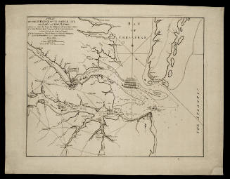
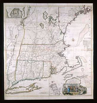
William Faden (1750-1836)
November 26, 1781
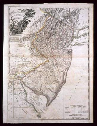
William Faden (1750-1836)
December 1, 1777
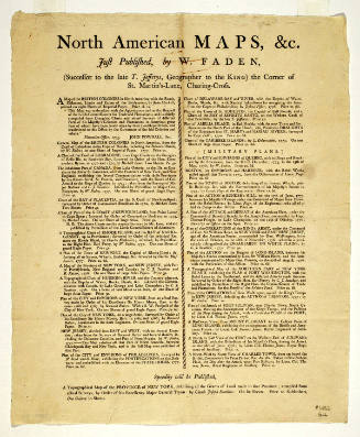

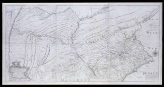
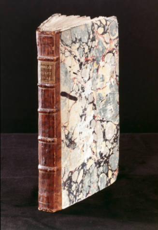
Robert Sayer (1725-1794) & John Bennett (fl. 1760-1787)
1776