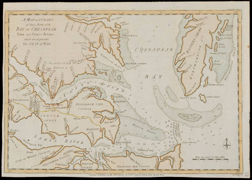
A MAP and CHART/ of those Parts of the/ BAY OF CHESAPEAK/ YORK and JAMES RIVERS/ which are at present/ The SEAT of WAR
Date1781
Compiler
John Lodge (fl. 1754-1796)
Maker
John Bew
d. 1793
OriginEngland, London
MediumLine engraving with period color
DimensionsOH: 15 1/2" x OW: 11"
Credit LineMuseum Purchase
Object number2017-134
DescriptionTitle in cartouche: A MAP and CHART/ of those Parts of the/ BAY OF CHESAPEAK/ YORK and JAMES RIVERS/ which are at present/ The SEAT of WARThe lower margin reads: "London. Publish'd as the Act directs 30.th Nov.r 1781. by J. Bew. Pater Noster Row./ Jn.o"
The scale reads: "Three Sea Leag.s or Nine Miles"
Label TextThis sea chart depicts the waters surrounding Virginia, the rivers, locations of the armies, Cornwallis' entrenchments, and the French fleet in the bay. The map was published over a month after the British surrendered at Yorktown in "The Political Magazine," London, 1781, vol. 2, p.624. It was also issued as a separate map. Coolie Verner suggested in "Maps of the Yorktown Campaign" that this map was based on William Faden's "Plan of the Entrance of the Chesapeake" published on November 26th 1781, just four days before J. Bew published this engraving (see acc. # 1958-407).
This copy published in William C. Wooldridge, "Mapping Virginia: From the Age of Exploration to the Civil War" (Charlottesville: University of Virginia Press, 2012), 171-173, #115
ProvenanceBefore 2005, Alexandre Antique Prints, Maps and Books (Toronto, Ontario); 2005, purchased by William C. Wooldridge (Norfolk, VA); 2009, purchased by the Virginia Cartographical Society (Norfolk, VA); 2017-present, purchased by the Colonial Williamsburg Foundation (Williamsburg, VA).
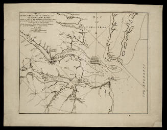
William Faden (1750-1836)
November 26, 1781

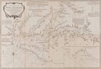
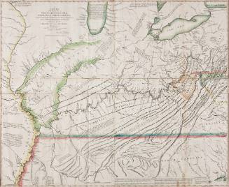
Robert Sayer (1725-1794) & John Bennett (fl. 1760-1787)
1776
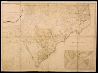
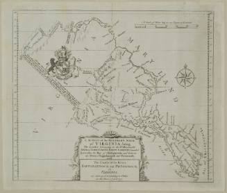

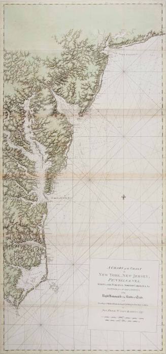
Joseph Frederick Wallet Des Barres
1780