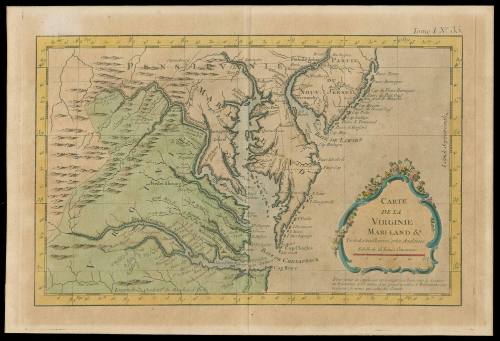
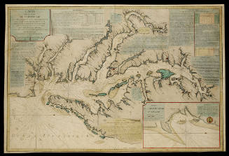
CARTE/ DE LA/ VIRGINIE/ MARI-LAND &.a/ Tirée des meilleures Cartes Angloises
Date1764
Cartographer
Jacques Nicolas Bellin
1703 - 1772
OriginEurope, France, Paris
MediumBlack and white line engraving with modern color on laid paper
DimensionsOH: 9 1/8" x OW: 13 3/8"; Plate H: 8 5/16" x W: 12 3/8"
Credit LineGift of Mr. John D. Rockefeller, Jr.
Object number1937-288
DescriptionThe lower right cartouche reads: "CARTE/ DE LA/ VIRGINIE/ MARI-LAND &.a/ Tirée des meilleures Cartes Angloises/ Echelle de 25 Lieues Communes."Text below the cartouche reads: "Pour eviter la confusion on a supprimé beaucoup de Criques/ ou Ruisseaux et les noms d'un grand nombre d'Habitations par-/ ticulieres, de meme que celui des Comtés"Label TextThis map appeared in Bellin, J.N. LE PETIT ATLAS MARITIME published in 1764 in Paris.Mark(s)Upper right: Tome I, # 35.ProvenanceBefore 1937, Senator Andre Honnorat [1868-1950] (Paris, France); 1937, given to Mr. John D. Rockefeller, Jr. (1874-1960); 1937-present, given to the Colonial Williamsburg Foundation (Williamsburg, VA).
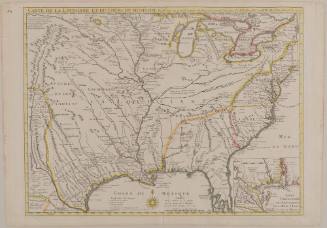
Guillaume de L'Isle (1675-1726)
June 1718
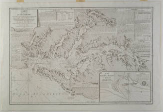
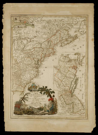
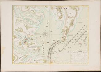
Esnauts & Rapilly (fl. ca. 1775-1811)
1782
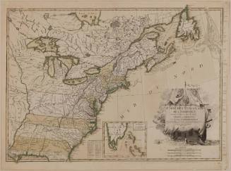
Jean Lattré (fl. 1743-1793)
1784
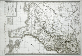
Jean Baptiste Poirson (1760-1831)
1799
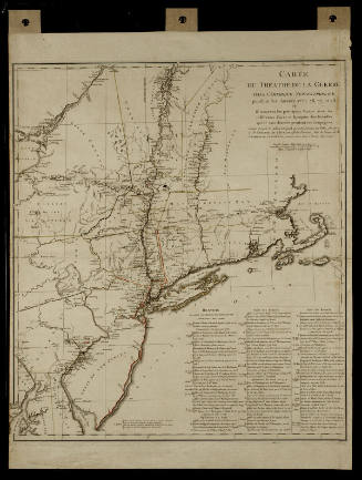
Michel Capitaine du Chesnoy (1746-1804)
after 1779