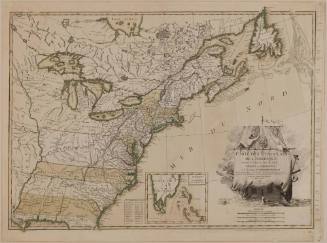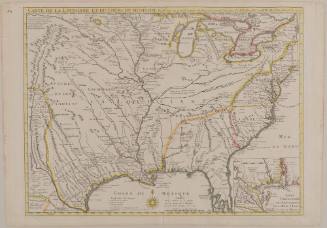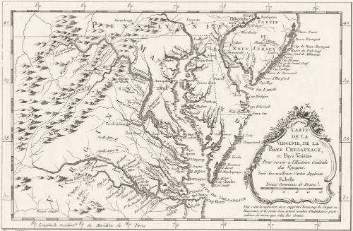
Carte de la Virginie, de la Baye Chesapeack, et Pays Voisins Pour servir à l'Histoire Générale des Voyages. Tirée des meilleures Cartes Angloises
Date1757
Maker
Jacques Nicolas Bellin
1703 - 1772
OriginEurope, France, Paris
MediumBlack and white line engraving
DimensionsTo the neat lines: 7 3/8" x 11 1/4"
Credit LineMuseum Purchase
Object number2017-124
DescriptionCartouche reads: "DE LA/ VIRGINIE, DE LA/ BAYE CHESAPEACK,/ et Pays Voisins/ Pour servir à L'Histoire Générale/ des Voyages./ Tirée des meilleurs Cartes Angloises/ Echelle/ Lieus Communes de France." Lower margin reads (letterpress): "Tom XIV in 4'o n'o Page 23"
Below cartouche reads: "Pour evier la confusion on a supprimé beaucoup de Criques/ Ruisseaux et les noms d un grande nombre d'habitations par/ culieres de même que celui des Comtes."Label TextJacques Nicolas Bellin claimed in his cartouche to have take the geography depicted in this map of Virginia from the " best English Maps" - primarily the newly published map of Virginia by Joshua Fry and Peter Jefferson (1754) [see 1968-11]. This first edition of the map was published in an atlas that accompanied a historical text and appears to have been published in both quatro and octoavo editions.
This copy is published in William C. Wooldridge, Mapping Virginia: From the Age of Exploration to the Civil War (Charlottesville: University of Virginia Press, 2012), pp. 113, #104.ProvenanceBefore 2004, Map Mogul Ltd. (London, England); 2004, purchased by William C. Wooldridge (Norfolk, VA); 2009, purchased by the Virginia Cartographical Society (Norfolk, VA); 2017-present, purchased by the Colonial Williamsburg Foundation (Williamsburg, VA).
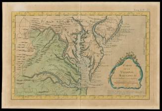
Jacques Nicolas Bellin
1764
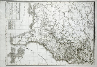
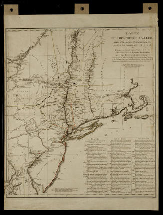
Michel Capitaine du Chesnoy
after 1779