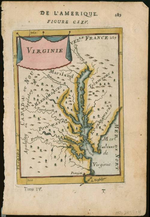
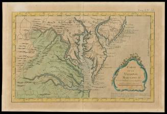
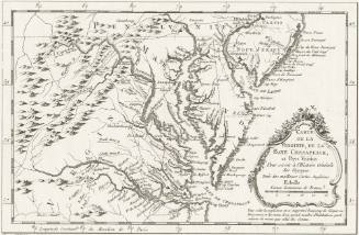
Virginie
Date1683
Maker
Alain Manesson Mallet
1670 - 1706
OriginEurope, France, Paris
MediumBlack and white line engraving with period color; Letterpress
DimensionsOH: 8 1/8" x OW: 5 3/8"
Credit LineMuseum Purchase
Object number2017-74
DescriptionUpper margin reads: "DE L'AMERIQUE./ FIGURE CXXV./ 289"Cartouche upper left corner reads: "VIRGINIE"
Lower margin reads: "Tome IV./ T"Label TextThis map appeared in volume five of Alain Manesson Mallet's "Description de L'Univers."
This copy published in William C. Wooldridge, Mapping Virginia: From the Age of Exploration to the Civil War (Charlottesville: University of Virginia Press, 2012), #70, pp. 76-77.ProvenanceBefore 1991, Paul Roberts Stoney (Williamsburg, VA); 1991, purchased by William C. Wooldridge (Norfolk, VA); 2009, purchased by the Virginia Cartographical Society (Norfolk, VA); 2017-present, purchased by the Colonial Williamsburg Foundation (Williamsburg, VA).
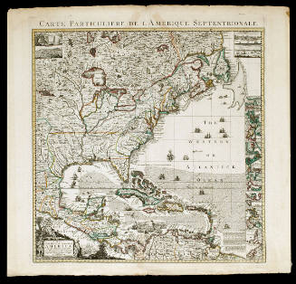
Pierre Mortier (1661-1711)
1700
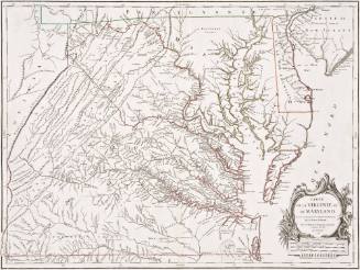
Jacques Nicolas Bellin
1764
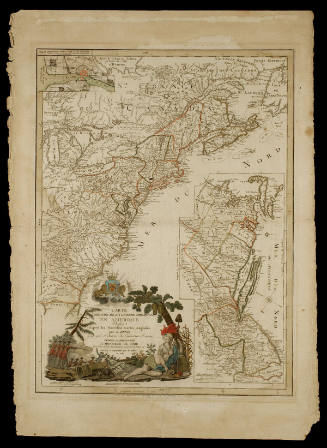
Esnauts & Rapilly (fl. ca. 1775-1811)
1782
Michel Capitaine du Chesnoy (1746-1804)
after 1779