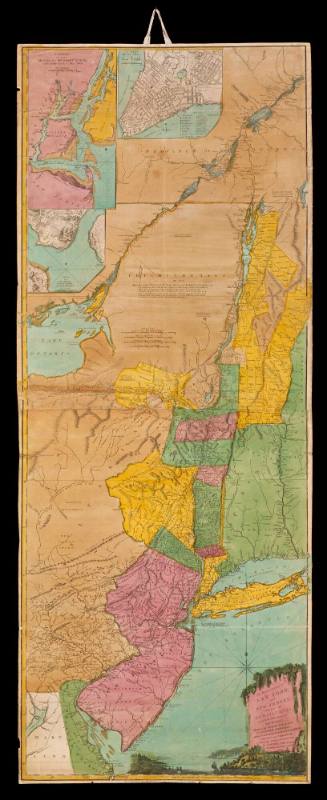
A MAP/ OF THE/ Province OF New York;/ with Part of/ PENSILVANIA,/ AND/ NEW ENGLAND,/ From an Actual Survey by/ Captain Montresor,/ ENGINEER, 1775.
DateJune 10, 1775
Cartographer
Captain John Montresor (1736-1799)
Engraver
Pierre André
Publisher
Andrew Dury
fl. 1742 - 1778
OriginEngland, London
MediumBlack and white line engraving with period hand color on laid paper mounted on linen
DimensionsOH: 57 1/4" x OW: 36 1/4"
Credit LineMuseum Purchase
Object number1954-1065,A
DescriptionText on the right side of the map reads: "A MAP/ OF THE/ Province OF New York;/ with Part of/ PENSILVANIA,/ AND/ NEW ENGLAND,/ From an Actual Survey by/ Captain Montresor,/ ENGINEER, 1775./ Publish'd as the Act directs, June 10.th 1775, by A. Dury Duke's Court S.t Martin's Lane, London./ TO THE RIGHT HONOURABLE/ Sir Jeffery Amherst/ KNIGHT of the BATH, and/ Lieutenant General of his Majesty's Forces &c. &c. &c./ This Map of the Province of/ NEW YORK,/ is humbly Inscribed by/ His most obliged Humble Servant/ John Montresor,/ Engineer."The lower right margin reads: "P. Andrews sculp."ProvenanceBefore 1954, Michael Harvard (London, England); 1954-present, purchased by the Colonial Williamsburg Foundation (Williamsburg, VA).
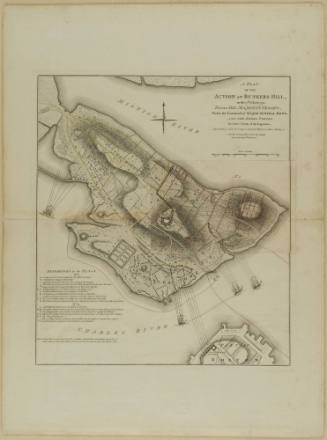
Robert Sayer (1725-1794) & John Bennett (fl. 1760-1787)
1776
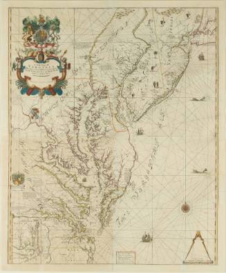
John Thornton
1723-1728, originally published ca. 1701
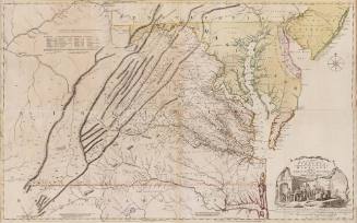
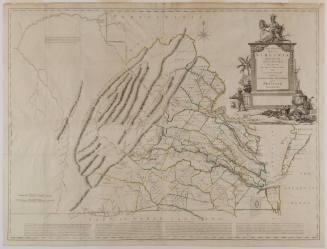
Joshua Fry (ca. 1700-1754) & Peter Jefferson (1708-1757)
1768; first published ca. 1753
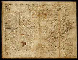
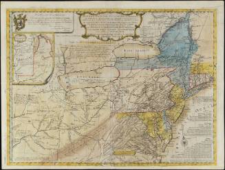
Major Samuel Holland (1728-1801)
August 17, 1776
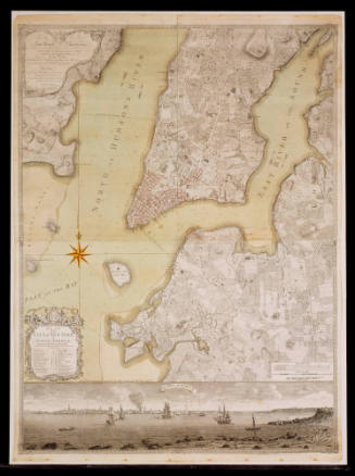
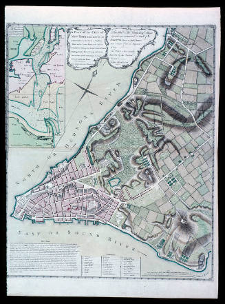
Bernard Ratzer
January 12, 1776
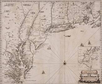
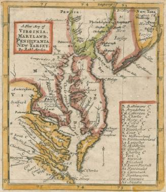
Robert Morden (d. 1703)
1685