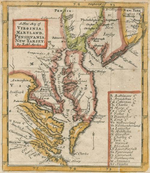
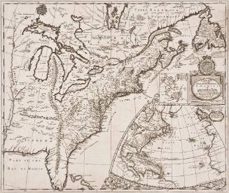
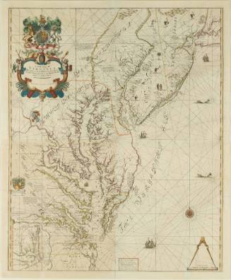
A. New Map of VIRGINIA. MARYLAND. PENSILVANIA. NEW YARSEY
Date1687
Maker
Robert Morden (d. 1703)
Publisher
Richard Blome
d. 1705
OriginEngland, London
MediumBlack and white line engraving with period color
DimensionsOH: 6 1/2" x OW: 5 1/2"
Credit LineGift of Mr. and Mrs. Richard F. Barry, III, Mr. and Mrs. Macon F. Brock, Mr. and Mrs. David R. Goode, Mr. and Mrs. Conrad M. Hall, Mr. and Mrs. Thomas G. Johnson, Jr., Mr. and Mrs. Charles W. Moorman, IV, and Mr. and Mrs. Richard D. Roberts.
Object number2017-209
DescriptionTitle in cartouche at top left: A. New Map of/ VIRGINIA./ MARYLAND./ PENSILVANIA./ NEW YARSEY./ by Rob.t Morden."Key on bottom right corner: B. Baltimore C/ A. Arundelton C/ Cal. Calverton C/ Ch. Char.es/ M Mary C/Cae Cecil C/ F Talbot C/D Dorchester C/K Kent C/ We Westmorland / No Northumberland/ La Lancaster/ Mi Middlesex/ Gl Glocester/ C Charles C/ Y York C/ W Warwick/ E Elizabeth/ LN Lower Norfolk/ Na Nantimond/ Co Corrotuck/ N Northmapton/ Ac Accomco/ Ar Arcadia"
Label TextIn 1680, Robert Morden published a map identifying the counties of Maryland and Virginia. The useful and popular map was updated many times until 1689 for use in atlases. This copy was from Richard Blome's book: The Present State Of His Majesties Isles and Territories in America, viz: Jamaica, Barbadoes, S. Christophers, Mevis, Antego, S. Vincent, Dominica, New-Jersey, Pensilvania, Monserat, Anguilla, Bermudas, Carolina, Virginia, New-England, Tobago, New-Found-Land, Mary-Land, New-York. With New Maps of every Place. Together with Astronomical tables ... Licens'd, July 20, 1686, Roger L'Estrange. (London: Printed by H. Clark, for Norman Newman, at the Kings-Arms in the Poultrey, 1687).
This copy is published in William C. Wooldridge, "Mapping Virginia: From the Age of Exploration to the Civil War" (Charlottesville: University of Virginia Press, 2012), #78, p. 85.ProvenanceBefore 2005, Barry Lawrence Ruderman Antique Maps (La Jolla, CA); 2005, purchased by William C. Wooldridge (Norfolk, VA); 2009, purchased by the Virginia Cartographical Society (Norfolk, VA); 2017-present, given to the Colonial Williamsburg Foundation (Williamsburg, VA).

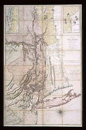
Captain John Montresor (1736-1799)
June 10, 1775
John Thornton
1723-1728, originally published ca. 1701
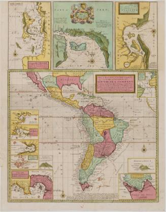
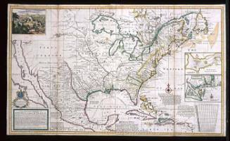
Herman Moll (1654?-1732)
ca. 1740 (originally published 1711)
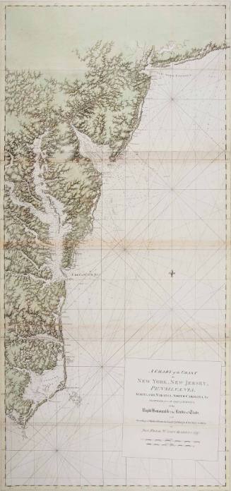
Joseph Frederick Wallet Des Barres
1780