
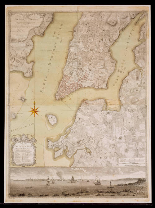
PLAN/ of the/ CITY of NEW YORK,/ in/ NORTH AMERICA:/ Surveyed in the Years 1766 & 1767.
DateJanuary 12, 1776
Cartographer
Bernard Ratzer
Engraver
Thomas Kitchen (1718-1784)
Publisher
Thomas Jefferys & William Faden (1773-1783)
Maker
William Faden (1750-1836)
OriginEngland, London
MediumBlack and white line engraving with period hand color on laid paper
DimensionsOH: 47 1/2" x OW: 38 5/8"
Credit LineFunds donated by Mrs. Anna Glen Vietor, for purchase, in memory of her husband, Alexander O. Vietor. (The Acorn Foundation)
Object number1986-52
DescriptionThe upper left cartouche reads: "To His Excellency/ Sir Henry Moore, Bar:t/ Captain General and Governour in Chief,/ In and Over His MAJESTY'S Province of/ NEW YORK/and the Secretaries depending thereon in America/ Chancellor and New Admiral of the same./ This Map/ of the City of New York and its Environs,/ Survey'd and Laid down:/ Is most Humbly Dedicated by His Excellency's/ Most Obed.t Humble Servant,/ Br. Ratzer/ Lieut.t in His Majesty's 60.th or/ Royal American Reg.t/ Tho.s Kitchin Sculp.t Engraver to His Late Royal Highness/ the Duke of York, &c."The lower left cartouche reads: "PLAN/ of the/ CITY of NEW YORK,/ in/ NORTH AMERICA:/ Surveyed in the Years 1766 & 1767."
The text above the view of New York reads: "London, Publishd according to Act of Parliament Jan.y 12 1776 by Jefferys & Faden. Corner of S.t Martins Lane, Charing Cross."ProvenanceBefore 1986, W. Graham Arader III (New York, NY); 1986-present, purchased by the Colonial Williamsburg Foundation (Williamsburg, VA).
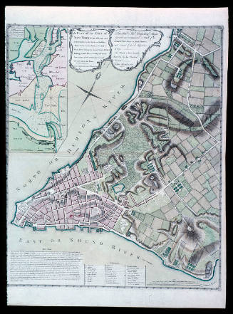
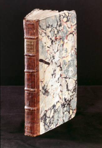
Robert Sayer (1725-1794) & John Bennett (fl. 1760-1787)
1776
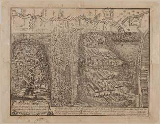
Captain John Montresor (1736-1799)
June 10, 1775

Joseph Frederick Wallet Des Barres
1782


