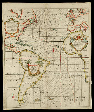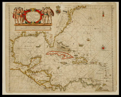
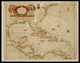
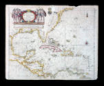
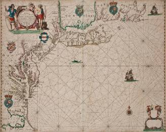
A Chart of the/ WEST INDIA'S/ From Cape Cod to the River/ Oronoque
Dateca. 1685
Cartographer
John Seller
fl. 1658-1698
OriginEngland, London
MediumBlack and white line engraving with period hand color on laid paper
DimensionsOH: 17 5/8" x OW: 22"
Credit LineMuseum Purchase
Object number1988-22
DescriptionThis map depicts the Caribbean islands as well as parts of North America, Central America, and South America.The cartouche reads: "A Chart of the/ WEST INDIA'S/ From Cape Cod to the River/ Oronoque/ By John Seller Hydrographer/ to the King,/ At the Hermitage/ Stairs in Wapping/ London."ProvenanceBefore 1988, Richard B. Arkway (New York, NY); 1988-present, purchased by the Colonial Williamsburg Foundation (Williamsburg, VA).
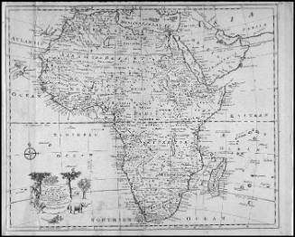
Robert Sayer (1725-1794) & John Bennett (fl. 1760-1787)
1776
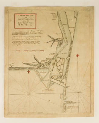
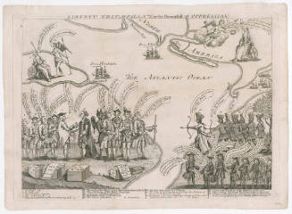
Edward Hyrne (ca. 1694-ca.1755)
1768