
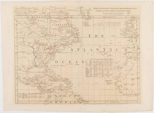
CHART of the ATLANTIC OCEAN, with the BRITISH, FRENCH, & SPANISH/ Settlements in NORTH AMERICA, and the WEST INDIES;/ as also on the Coast of AFRICA.
Date1768
Cartographer
Thomas Jefferys
1719 - 1771
Publisher
Thomas Jefferys
1719 - 1771
Publisher
Robert Sayer
1725 - 1794
OriginEngland, London
MediumBlack and white line engraving with period hand color on laid paper
DimensionsOH: 21 1/8" x OW: 28 3/4"; Plate H: 18 5/8" x W: 24 3/8"
Credit LineMuseum Purchase
Object number1984-209
DescriptionThe upper margin reads: "CHART of the ATLANTIC OCEAN, with the BRITISH, FRENCH, & SPANISH/ Settlements in NORTH AMERICA, and the WEST INDIES;/ as also on the Coast of AFRICA./ By Tho.s Jefferys Geographer to His MAJESTY."The lower margin reads: "Publish'd according to Act of Parliament and Printed for Robert Sayer in Fleet Steet and Thomas Jefferys in the Strand."ProvenanceBefore 1984, Kenneth Nebenzhal, Inc. (Chicago, IL); 1984-present, purchased by the Colonial Williamsburg Foundation (Williamsburg, VA).
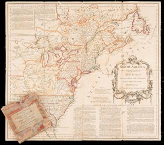
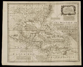
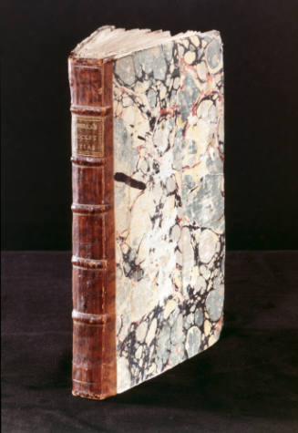
Herman Moll
1740-1745 (originally published 1715)
Robert Sayer (1725-1794) & John Bennett (fl. 1760-1787)
1776