
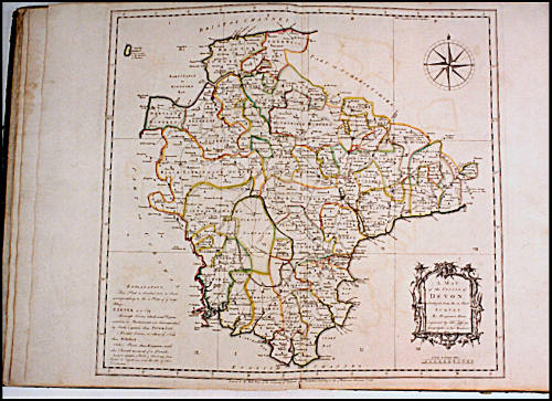
A MAP OF THE COUNTY of DEVON, WITH THE CITY and COUNTY OF EXETER, Delineated from an ACTUAL SURVEY, on Twelve Sheets of Imperial Paper, the Scale an Inch to a Mile.
Date1765
Cartographer
Benjamin Donn
1729 - 1798
Engraver
Thomas Jefferys
1719 - 1771
OriginEngland, London
MediumBlack and white line engraving with period hand color on laid paper and bound
DimensionsOH: 20 5/8" x OW: 15 3/8"
Credit LineMuseum Purchase
Object number1992-50
DescriptionThe lower right cartouche reads: "A MAP/ of the COUNTY of/ DEVON,/ abridged from the 12 Sheet/ SURVEY/ By Benjamin Donn./ Engraved by Tho.s Jefferys,/ Geographer to his MAJESTY."ProvenanceBefore 1992, Jim & Harriet Pratt Antiques (Charleston, SC); 1992-present, purchased by the Colonial Williamsburg Foundation (Williamsburg, VA).
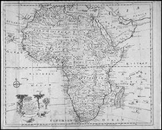
Robert Sayer (1725-1794) & John Bennett (fl. 1760-1787)
1776
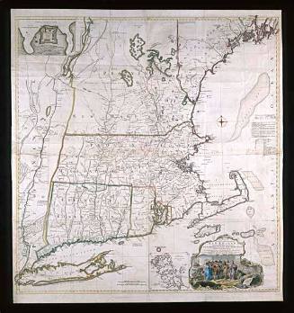
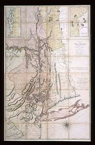
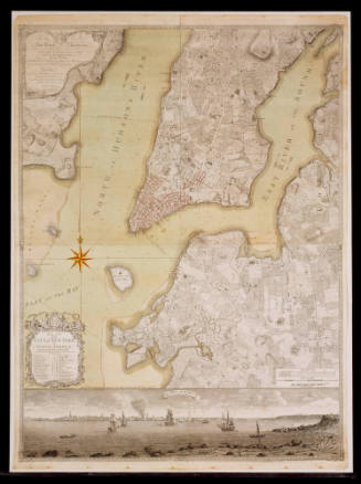
Bernard Ratzer
January 12, 1776