Child's Composite Atlas
Date1790
Engraver
Amos Doolittle (1754-1832)
Publisher
Jedidiah Morse (1761-1826)
MediumBlack and white line engraving on laid paper
DimensionsOH: 4 1/2" x OW: 3 1/2"
Credit LineMuseum Purchase, Mrs. Anna Glen B. Vietor Map Fund
Object number2011-25
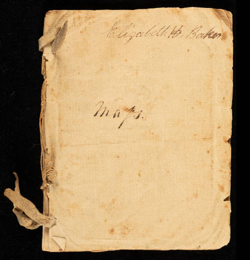
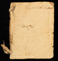
DescriptionThe front page inscription reads: "Elizabeth H. Baker./ Maps."This composite atlas contains the following maps:
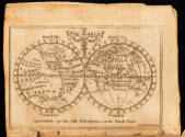
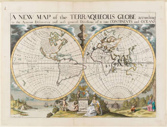
"THE WORLD/ Agreeable to the last Discoveries in the South Seas/ Doolittle Sculp. N.H."
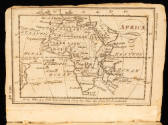
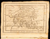
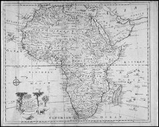
"AFRICA/ Doolittle Sculp. N. Haven"
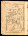
"EUROPE/ Engrav'd for Morses Geography by Doolittle N. Haven"
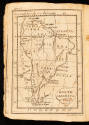
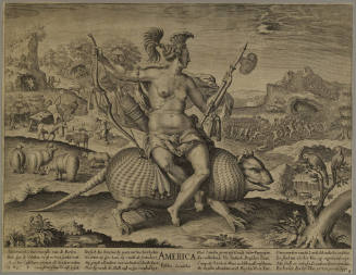
"SOUTH AMERICA/ Doolittle Sc. N. Haven"
"ASIA/ Doolittle Sc. N. Haven"
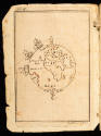
Hemisphere map showing the curvature of the earth "Doolittle Sc. N. Haven"
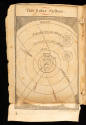
"The Solar System./ Doolittle Sculp.t"
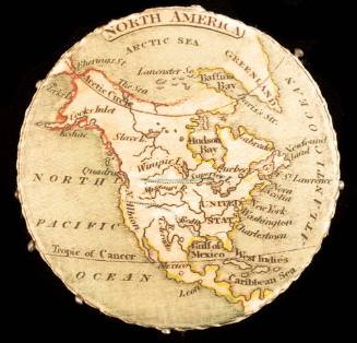
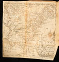
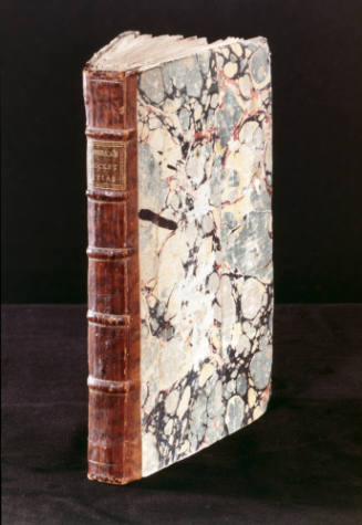
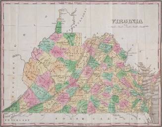
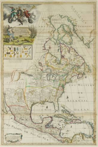
"A/ MAP/ of the/ UNITED/ STATES/ of/ AMERICA/ A. Doolittle"Label TextThis atlas was created by American school-girl Elizabeth H. Baker by cutting maps out of the second edition of Jedidiah Morse’s (1761-1826) “Geography Made Easy.” Elizabeth bound the eight maps on eighteen pages with two leather ties and thread, titling the atlas simply “maps.” The maps were engraved by engraver and silversmith Amos Doolittle (1754-1832) in New Haven, Connecticut. The eight maps included a depiction of the Solar System, the world, Abel Buell’s map of the United States, Africa, South America, Asia, Europe.
After the 1783 Treaty of Paris, maps were implemented in school curriculum to nationalize American education. Female academies advertised the teaching of geography and “working maps,” such as creating embroidered maps and map samplers. Female students like Elizabeth H. Baker and Harriet Hayles created their own atlases, either cutting maps from a published text or drawing copies. Little is known about Elizabeth H. Baker beyond her status as a student of early republic geographic education.
Jedidah Morse’s “Geography Made Easy” textbook responded to the demand for American-made geography books. The best-selling textbook was sold widely across the new United States and taught nationalism and love of country alongside literacy and mapping. The book was deeply successful and Morse, a congregational clergyman and Yale graduate, almost quit the ministry to keep making money from publishing. The book supported Morse for the rest of his life, and he continued to publish other geography books, such as “American Geography” (1789).
Inscription(s)The upper right corner of the front page reads: "Elizabeth H. Baker."
The center of the front page reads: "Maps."ProvenanceBefore 2011, The Old Print Shop (New York, NY); 2011-present, purchased by the Colonial Williamsburg Foundation (Williamsburg, VA).
Robert Sayer (1725-1794) & John Bennett (fl. 1760-1787)
1776
Herman Moll (1654?-1732)
1712-1730
Edward Wells (1667-1727)
1700-1701
ca. 1830