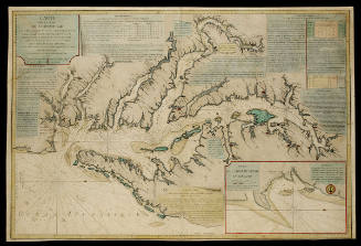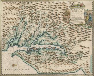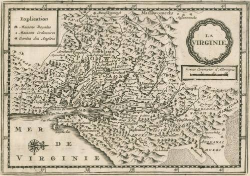
La Virginie
Date1628/1714?
Maker
Petrus Kaerius
Maker
Pieter van der Aa
1659 - 1733
MediumLine engraving on laid paper
DimensionsOH: 7 1/4" x OW: 9"
Credit LineMuseum Purchase
Object number2017-43
DescriptionCartouche reads: "LA/ VIRGINIE."Scale: "Lieues Communes d'Allemagne."
Key reads: "Explication/ Maisons Royales/ Maisons Ordinaires/ Gardes des Anglois."
Label TextThis west-oriented map was published in Pieter van der Aa's "Atlas Soulage" and depicts Virginia with indigenous tribes labeled as well as English houses and settlements. Most of the maps in "Atlas Soulage" were reworked from plates from Janssonius' "Atlas Minor" and translated into French.ProvenanceDates Unknown, Reiss Auction House (Königstein im Taunus, Germany, auction date unknown, lot 2915); Before 2004, Richard B. Arkway (New York, NY); 2004, purchased by William C. Wooldridge (Norfolk, VA); 2009, purchased by the Virginia Cartographical Society (Norfolk, VA); 2017-present, purchased by the Colonial Williamsburg Foundation (Williamsburg, VA).
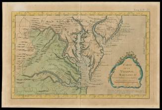
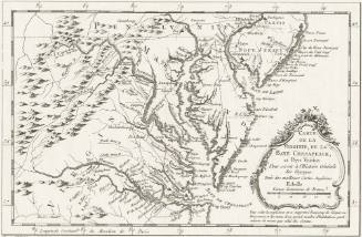
Jacques Nicolas Bellin
1764

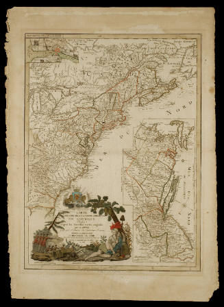
Jean Baptiste Poirson (1760-1831)
1799
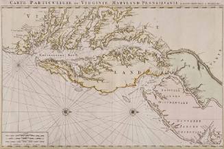
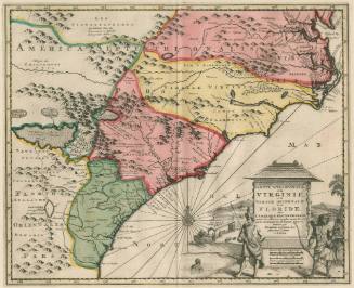
Pierre Mortier (1661-1711)
1700