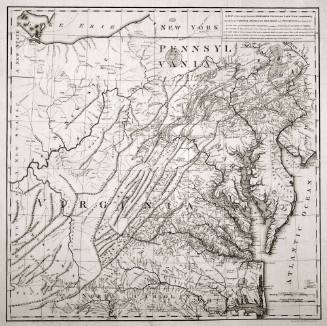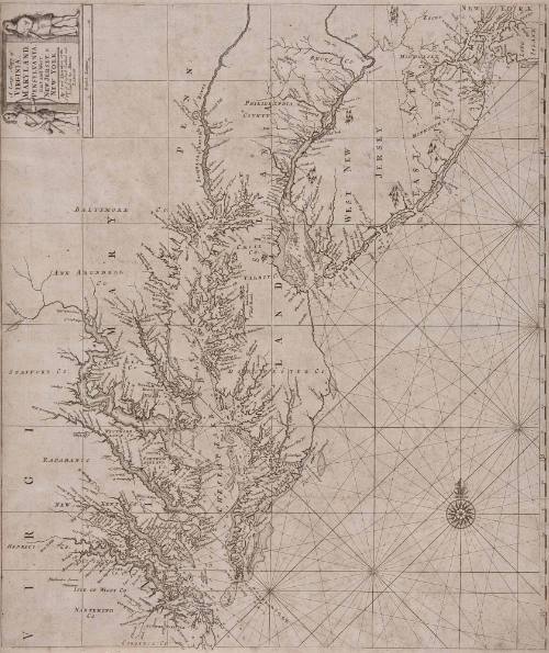
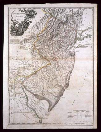
A Large Mapp of VIRGINIA, MARYLAND, PENSYLVANIA, East and West NEW JERSEY, & NEW YORK...
Date1701?/1709?
Maker
Samuel Thornton
OriginEngland, London
MediumBlack and white line engraving
DimensionsOH: 19 1/2" X OW: 23"
Credit LineGift of Mr. and Mrs. Richard F. Barry, III, Mr. and Mrs. Macon F. Brock, Mr. and Mrs. David R. Goode, Mr. and Mrs. Conrad M. Hall, Mr. and Mrs. Thomas G. Johnson, Jr., Mr. and Mrs. Charles W. Moorman, IV, and Mr. and Mrs. Richard D. Roberts.
Object number2017-211
DescriptionInscription in cartouche reads: A Large Mapp of/ VIRGINIA,/ MARYLAND,/ PENSYLVANIA,/ East and West/ NEW JERSEY, &/ NEW YORK./ By Sam.l Thornton at the/ Signe of England Scotland and/ Ireland in the Minories/ LONDON.Label TextWhen mapmaker John Thornton died in 1708, he left his son his "Mapps, Charts, Copys, Books, Instruments, Copper graved Plates and all other things belonging to my Trade." It is thought that this particular map was taken by one of the plates. It appears to be a smaller, atlas-sized version of a four-sheet wall map of Virginia published by John Thornton and dedicated to Micajah Perry, a London merchant with strong conections to Virginia. This copy was published in William C. Wooldridge, Mapping Virginia: From the Age of Exploration to the Civil War (Charlottesville: University of Virginia Press, 2012), #92, p, 94.
Inscription(s)Manuscript notation in ink located in upper right corner: 75.
ProvenanceBefore 2005, Cohen and Taliaferro (New York, NY); 2005, purchased by William C. Wooldridge (Norfolk, VA); 2009, purchased by the Virginia Cartographical Society (Norfolk, VA); 2017-present, given to the Colonial Williamsburg Foundation (Williamsburg, VA).
John Thornton
1723-1728, originally published ca. 1701
William Faden
December 1, 1777