
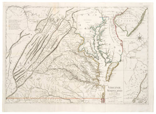
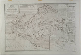
VIRGINIE, MARYLAND en 2 feuilles par Fry et Jefferson Traduit, Corrige, augmente...
Date1777
Cartographer
George Louis Le Rouge (fl. 1740-1780)
After work by
Joshua Fry (1700-1754)
After work by
Peter Jefferson (1708-1757)
Publisher
George Louis Le Rouge (fl. 1740-1780)
OriginEurope, France, Paris
MediumLine engraving on laid paper with hand coloring
DimensionsOverall: 29 3/4 × 41 in (75.56 × 104.14cm)
Other (Platemark): 27 1/4 × 29 1/2 in (69.21 × 74.93cm)
Other (Platemark): 27 1/4 × 29 1/2 in (69.21 × 74.93cm)
Credit LineMuseum Purchase
Object number2003-156
DescriptionThe title information towards the lower right reads: "VIRGINIE,/ MARYLAND/ en 2 feuilles/ par Fry et Jefferson/ Traduit, Corrige, augmente/ A PARIS/ Chez LE ROUGE Ing? Geographe du Roi/ Rue des Grands Augustins/ 1777./ Avec Privilege du Roi"The scale reads: "Lieues Marines"ProvenanceBefore 2003, Clive A. Burden Ltd. (Rickmansworth, England); 2003-present, purchased by the Colonial Williamsburg Foundation (Williamsburg, VA).
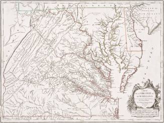
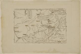
Joshua Fry (ca. 1700-1754) & Peter Jefferson (1708-1757)
1756
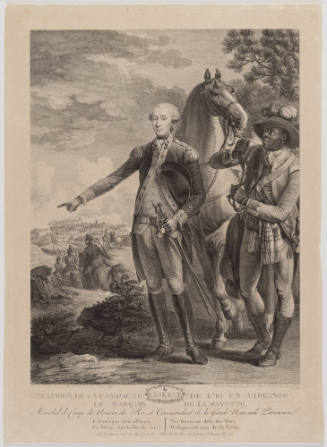
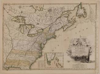
Jean Lattré (fl. 1743-1793)
1784
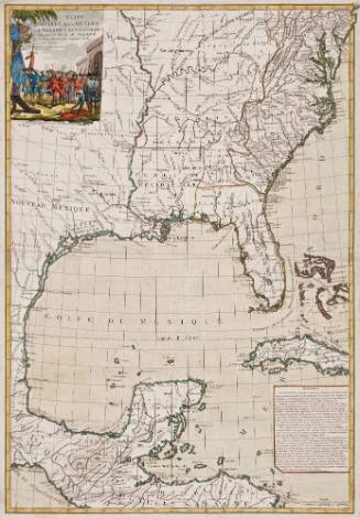
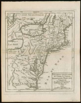
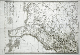
Jean Baptiste Poirson (1760-1831)
1799

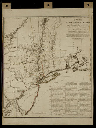
Michel Capitaine du Chesnoy (1746-1804)
after 1779