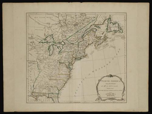
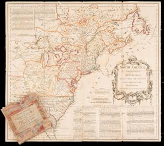
NORTH AMERICA/ from the French/ of M.R D'ANVILLE
DateJune 10, 1775
Cartographer
Jean-Baptiste Bourguignon d'Anville (1697-1782)
Publisher
Robert Sayer (1725-1794) & John Bennett (fl. 1760-1787)
OriginEngland, London
MediumBlack and white line engraving with period hand color on laid paper
DimensionsOH: 21 3/4" x OW: 29 1/8"; Plate H: 18 3/4" x W: 20 3/4"
Credit LineGift of Mrs. Anna Glen B. Vietor
Object number1982-86
DescriptionThis map depicts the east coast of North America from Newfoundland to the northern half of Florida. The cartouche in the lower right corner reads: "NORTH AMERICA/ from the French/ of M.R D'ANVILLE/ IMPROVED/ with THE ENGLISH SURVEYS made Since the Peace/ Scales/ Sea Leagues 20 to a Degree./ English Miles 69 1/2 to a Degree./ NB. The Boundaries of the Provinces since the conquest of Canada are laid down as settled by the King in Council"
The lower margin reads: "LONDON Printed for Rob.t Sayer & J. Bennett, Map & Printsellers, N.o 53 Fleet Street, as the Act directs 10 June 1775."ProvenanceBefore 1982, the Old Print Shop (New York, NY); 1982-present, purchased with funds given by the Acorn Foundation, Mrs. Anna Glen B. Vietor, in memory of Alexander O. Vietor, to the Colonial Williamsburg Foundation (Williamsburg, VA).
Robert Sayer (1725-1794) & John Bennett (fl. 1760-1787)
1776
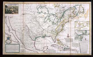
Herman Moll (1654?-1732)
1712-1730

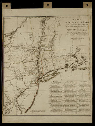
Michel Capitaine du Chesnoy (1746-1804)
after 1779
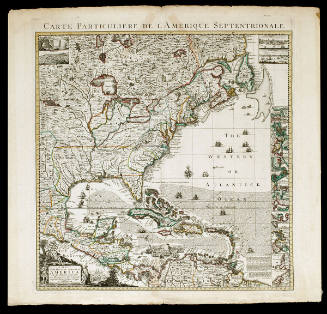

Hubert Francois Bourguignon Gravelot (d'Anville)
1740-1780