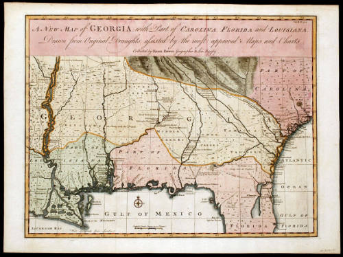
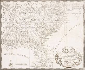
A NEW MAP of GEORGIA, with Part of CAROLINE, FLORIDA and LOUISIANNA.
Date1748
Cartographer
Emanuel Bowen
ca. 1694 - 1767
Engraver
Emanuel Bowen
ca. 1694 - 1767
OriginEngland, London
MediumBlack and white line engraving with period hand color on laid paper
DimensionsOH: 16" x OW: 21 5/8"; Plate H: 14 5/8" x W: 19 1/4"
Credit LineMuseum Purchase
Object number1986-201
DescriptionThe upper margin reads: "A NEW MAP of GEORGIA, with Part of CAROLINA, FLORIDA and LOUISIANA./ Drawn from Original Draughts, assisted by the most approved Maps and Charts./ Collected by Eman: Bowen Geographer to his Majesty."The scale reads: "English & French Leagues 20 to a Degree"ProvenanceBefore 1986, Paul Roberts Stoney (Williamsburg, VA); 1986-present, purchased by the Colonial Williamsburg Foundation (Williamsburg, VA).
Robert Sayer (1725-1794) & John Bennett (fl. 1760-1787)
1776

Jean-Baptiste Bourguignon d'Anville (1697-1782)
June 10, 1775