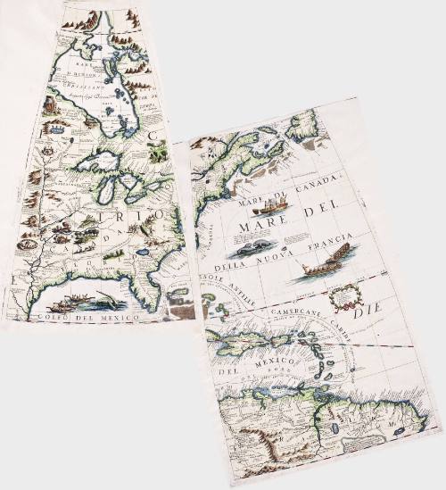
Untitled [Two maps: Caribbean and North Atlantic Seaboard; Chesapeake to Mississippi Interior]
Date1697
Maker
Vincenzo Maria Coronelli
1650 - 1718
MediumLine engraving with period color
Dimensions*Because the gores are not rectangles, the dimensions are 1) vertically through the center, 2) horizontally between two lower corners, 3) horizontally between two upper corners.
A (North America): 16 1/2" x 10" x 3 3/4"
B (Atlantic Ocean): 18" x 11" x 7"
A (North America): 16 1/2" x 10" x 3 3/4"
B (Atlantic Ocean): 18" x 11" x 7"
Credit LineMuseum Purchase
Object number2017-81,A&B
DescriptionTwo globe gores from 'Libro dei Globi' or 'Isolario'Label TextThese globe gores were created in 1697 by cartographer and Franciscan Friar Vincenzo Coronelli, who is generally considered the finest early globemaker. These gores were for a smaller replica of one of the 15 foot diameter globes Coronelli made for King Louis XIV of France. These two gores, which represent eastern North America and the Caribbean, are from a set that when assembled would make a 43" diameter globe, which would have been Coronelli's largest commercially offered globe. The gores were not sold in this format for buyers to assemble the globe themselves, but rather to be published in printed works to make Coronelli's cartography more widely available at an affordable price. These were published in Coronelli's compilations "Libro dei Globi" and "Isolario," both published in 1697. This version appears in William C. Wooldridge, Mapping Virginia: From the Age of Exploration to the Civil War (Charlottesville: University of Virginia Press, 2012), pp. 76-77.ProvenanceBefore 2000, Martayan Lan Augustyn (New York, NY); 2000, purchased by William C. Wooldridge (Suffolk, VA); 2009, purchased by the Virginia Cartographical Society (Norfolk, VA); 2017-present, purchased by the Colonial Williamsburg Foundation (Williamsburg, VA).

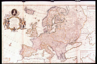
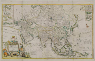
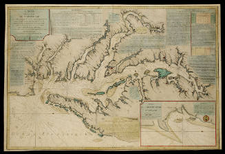
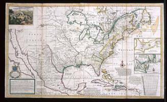
Vincenzo Maria Coronelli
1742
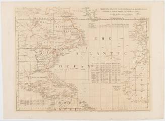
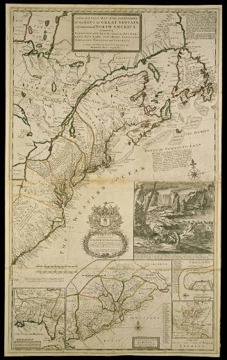
Herman Moll (1654?-1732)
After 1735; originally published 1715
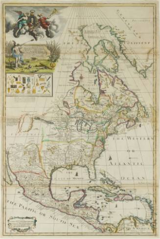
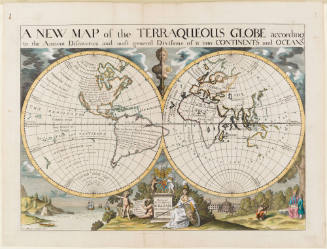
Edward Wells (1667-1727)
1700-1701