
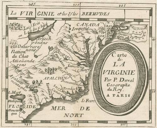
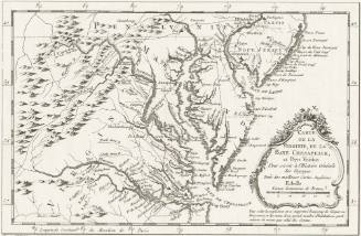
Carte de la Virginie Par P. Duval Geographe du Roy. A Paris
Date1672
Maker
Pierre Duval
OriginEurope, France, Paris
MediumBlack and white line engraving
DimensionsOverall: OH: 6 1/8" x OW: 6 1/4" ; To neat lines: 3 7/8" x 4 3/4"
Credit LineMuseum Purchase
Object number2017-33
DescriptionUpper margin: "La VIR GINIE et les Isles BERMVDES"In oval: "Carte/ de/ LA VIRGINIE/ Par P. Duval/ Geographe/ du Roy./ A PARISLabel TextThe cartographic information presented in this small map were derived from the important 1606 Mercator-Hondius (Virginiae Item et Floridae Americae Provinciarum nova Descriptio, 1606) map of the southeastern coast of North America. The first state of Duval's map was published in 1659, a testement to the longevity of the Mercator-Hondius map's influence. This copy, state 4, was published in Pierre Duval's "Le Monde ou la Géographie Universelle." Bermuda is included as an inset map suspended, banner-like, from a longitudinal marker.
This copy published in William C. Wooldridge, "Mapping Virginia: From the Age of Exploration to the Civil War" (Charlottesville: University of Virginia Press, 2012), #18, p. 24-25.ProvenanceBefore 2002, Thomas & Ahngsana Suarez (Hawthorne, NY); 2002, purchased by William C. Wooldridge (Norfolk, VA); 2009, purchased by the Virginia Cartographical Society (Norfolk, VA); 2017-present, purchased by the Colonial Williamsburg Foundation (Williamsburg, VA).
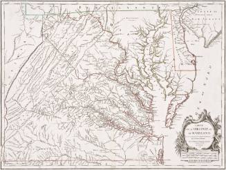

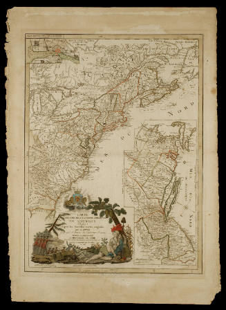
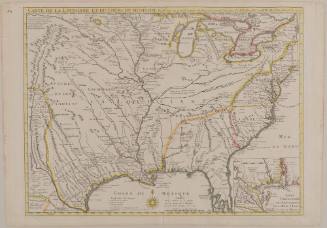
Guillaume de L'Isle (1675-1726)
June 1718
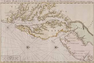
Pierre Mortier (1661-1711)
1700
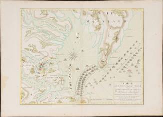
Esnauts & Rapilly (fl. ca. 1775-1811)
1782
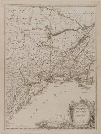

Vincenzo Maria Coronelli
1742

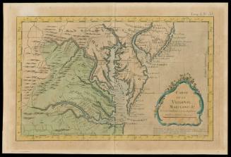
Jacques Nicolas Bellin
1764

George Louis Le Rouge (fl. 1740-1780)
1777