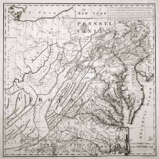
A MAP/ Exhibiting all the New Discoveries/ in the Interior Parts of/ NORTH AMERICA,/ Inscribed by Permission/ To the honourable Governor AND Company OF Adventurers OF England/ TRADING INTO HUDSONS BAY...
Date1802
Cartographer
Aaron Arrowsmith
1750 - 1823
Engraver
Aaron Arrowsmith
1750 - 1823
Publisher
Aaron Arrowsmith
1750 - 1823
OriginEngland, London
MediumLine engraving with period hand color on laid paper
DimensionsOverall: 50 x 62in. (127 x 157.5cm)
Credit LineMuseum Purchase, The Friends of Colonial Williamsburg Collections Fund
Object number2011-102
DescriptionThe text in the upper center reads: "A MAP/ Exhibiting all the New Discoveries/ in the Interior Parts of/ NORTH AMERICA,/ Inscribed by Permission/ To the honourable Governor AND Company OF Adventurers OF England/ TRADING INTO HUDSONS BAY/ In testimony of their liberal Communications/ To their most Obedient/ and very Humble Servant,/ A. Arrowsmith/ N.o 24 Rathbone Place./ January 1.st 1795/ Additions to 1802."The lower margin reads: "London. Published 1 Jan. 1795 by A. Arrowsmith N.o 24 Rathbone Place. Additions to 1802/ London. Published 1 Jan. 1795 by A. Arrowsmith N.o 24 Rathbone Place. Additions to 1802/ London. Published 1 Jan. 1795 by A. Arrowsmith N.o 24 Rathbone Place. Additions to 1802"ProvenanceBefore 2011, Donald A. Heald Rare Books, Prints, and Maps (New York, NY); 2011-present, purchased by the Colonial Williamsburg Foundation (Williamsburg, VA).
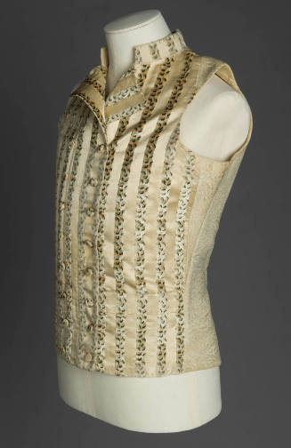
1785-1795
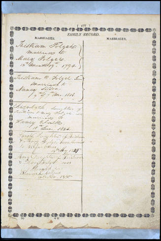
ca. 1860
Elizabeth Champion
1830-1840, with earlier textiles
1761, altered 1810-1830