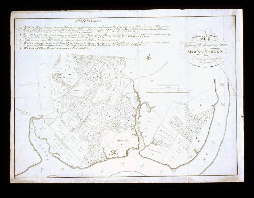
A/ Map/ of/ General Washington's Farm,/ of/ MOUNT VERNON/ from/ A Drawing transmitted by the General.
Date1801
After work by
George Washington
1732-1799
Engraver
Samuel John Neele
1758 - 1824
OriginEngland, London
MediumBlack and white line engraving on laid paper
DimensionsOH: 14 5/8" x OW: 20 3/8" (framed)
Credit LineGift of General Paul Roberts Stoney.
Object number1992-214
DescriptionThe upper right cartouche reads: "A/ Map/ of/ General Washington's Farm,/ of/ MOUNT VERNON/ from/ A Drawing transmitted by/ the General."The lower margin reads: "Neele Sculp. 352 Strand"Label TextThis map was originally published in the 1801 volume "Letters from His Excellency General Washington, to Arthur Young, Esq" (later detached) and depicts the five farms of Mount Vernon, as well as the mansion house (lower center). Of the 8,000 acres of the estate, 3,250 were under cultivation. The map was surveyed and drawn by Washington in 1793.ProvenanceBefore 1992, Gen. Paul Roberts Stoney [1919-1998] (Williamsburg, VA); 1992-present, given to the Colonial Williamsburg Foundation (Williamsburg, VA).
1828
1805-1810
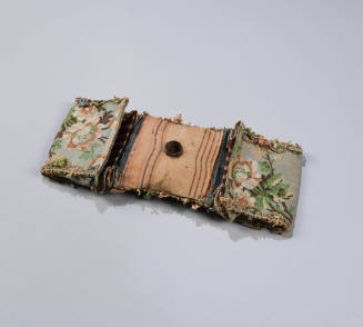
Martha Custis Dandridge Washington
ca. 1800; materials earlier