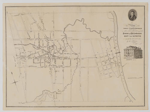
This Plate of the TOWN of FAYETTEVILLE NORTH CAROLINA
Date1825
MediumLine engraving on laid paper
DimensionsOverall: 16 3/8 × 22 1/16 in (41.7 × 56.04cm)
Credit LineMuseum Purchase, The Joseph H. and June S. Hennage Fund
Object number2025-137
DescriptionThe title reads, "This State of the/ Town of Fayetteville/ North Carolina/ so called in honor of that distinguished/ Patriot and Philanthropist/ Genl. La Fayette/ is respectfully dedicated to him/ by the Publisher."The lower margin reads, "Published by John Mc Rae, Fayetteville."Label TextThis town plan map of Fayetteville, North Carolina, was rushed into print for the Marquis de Lafayette's 1825 visit to the American town that bore his name. In 1824-25, the French war hero of the American Revolution returned to the United States for a reunion tour across many American towns that celebrated with parades, dinners, Lafayette souvenirs. The map includes a cameo portrait of the "Hero of Two Worlds" and an image of a Lafayette hotel. The Lafayette Hotel was built just before Lafayette's visit and hosted a ball in Lafayette's honor during his tour. Built by resident Robert Donaldson Jr. (1800-1872), the hotel was leased after Lafayette's visit and burned down during the fire of May 1831. Robert Henry Beech Brazier (1795-1837), an England-born civil engineer, surveyed the map. John MacRae, a resident and later mayor of Fayetteville, worked with Brazier to create this published version of the map. John MacRae and Robert H.B. Brazier would go on to work on a very rare 1832 state map of North Carolina.ProvenanceBefore 2025, purchased from ("an obscure North Carolina auction"); 2025, purchased by Boston Rare Maps (Southampton, MA); 2025-present, purchased by The Colonial Williamsburg Foundation (Williamsburg, VA)
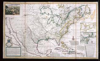
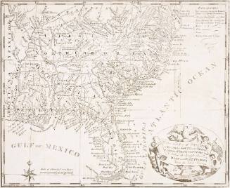
Robert Morden (d. 1703)
1700
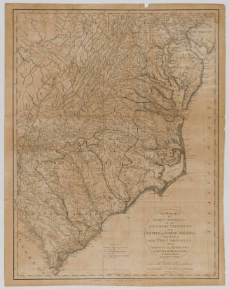
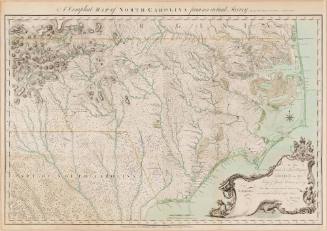
Herman Moll (1654?-1732)
After 1735; originally published 1715