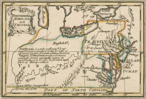
Pensilvania Maryland and Virginia
Date1758
Maker
John Gibson (fl. 1750-1792)
OriginEngland, London
MediumBlack and white line engraving with original color
DimensionsOH: 3 3/8" x OW: 4 1/2"
Credit LineMuseum Purchase
Object number2017-114
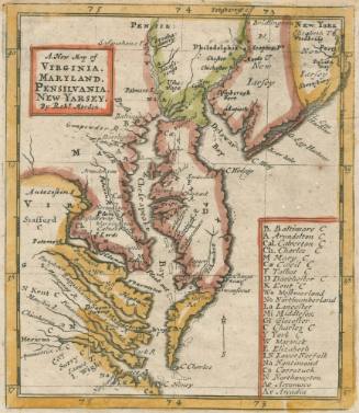
DescriptionCartouche reads: "PENSILVANIA/ VIRGINIA AND/ MARYLAND"Label TextJohn Gibson’s diminutive Atlas Minimus was the first miniature atlas to include maps of the Colonies. The atlas comfortably fit into a pocket or ones hand. This map focuses on the vastness and economic prosperity and potential of the colonies of Pennsylvania, Maryland, and Virginia. Extending all the way to the Mississippi and taking up the entire Northwest Territory, Virginia is clearly the most impressive of the colonies. The description in between the Ohio and Mississippi rivers the descriptions describes Virginia’s importance to Europe: “Virginia & Maryland produce Tobacco, which the former especially raises in such Plenty, as to be able to furnish most Parts of Europe with it.”This copy is published in "William C. Wooldridge, Mapping Virginia: From the Age of Exploration to the Civil War" (Charlottesville: University of Virginia Press, 2012), #122, p. 130.
ProvenanceBefore 2002, Barry Lawrence Ruderman Antique Maps (La Jolla, CA); 2002, purchased by William C. Wooldridge (Norfolk, VA); 2009, purchased by the Virginia Cartographical Society (Norfolk, VA); 2017-present, purchased by the Colonial Williamsburg Foundation (Williamsburg, VA).
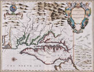
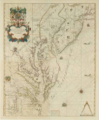
Robert Morden (d. 1703)
1685

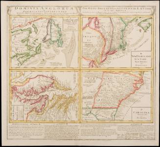
John Thornton
1723-1728, originally published ca. 1701
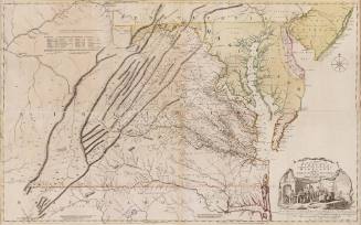
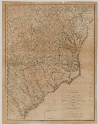
Joshua Fry (ca. 1700-1754) & Peter Jefferson (1708-1757)
1768; first published ca. 1753
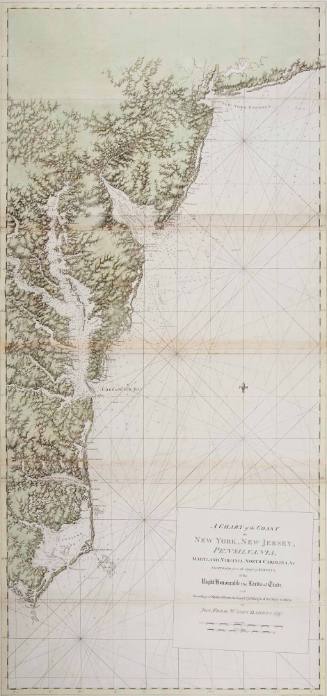
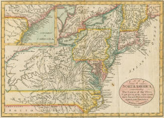
Joseph Frederick Wallet Des Barres
1780