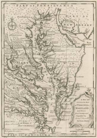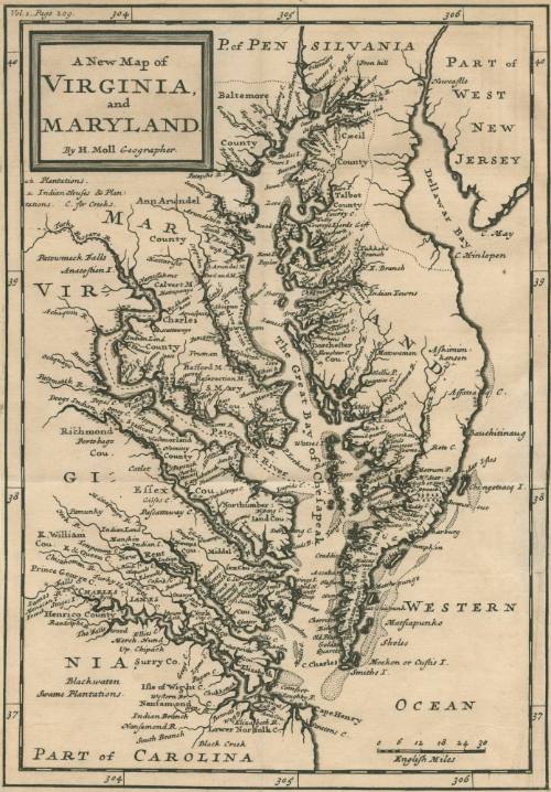
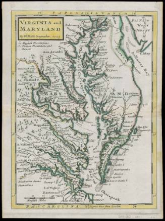
A New Map of Virginia and Maryland
Date1708
Maker
Herman Moll (1654?-1732)
OriginEngland, London
MediumLine engraving and etching on laid paper
DimensionsTo the neat lines: 10" x 7"
Credit LineMuseum Purchase
Object number2017-93
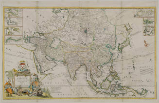
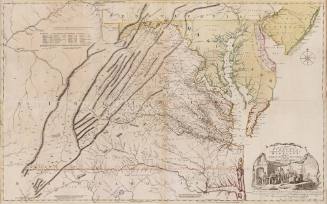
DescriptionUpper right corner text reads: "Vol. 1. Page 209." Cartouche reads: "A New Map of/ VIRGINIA/ and/ MARYLAND/ by H. Moll Geographer."Label TextThe importance of this small map, which is not as precisely drawn as most, is that at the time it was one of the most widely distributed maps of the Chesapeake Bay area. It was published in various editions and atlasses since its first appearance in John Oldmixon's "The British Empire in America" in 1708 (this copy). The map served as the main tool for learning the geography of the area.
This copy published in William C. Wooldridge, "Mapping Virginia: From the Age of Exploration to the Civil War" (Charlottesville: University of Virginia Press, 2012), #85, p.90.ProvenanceBefore 2002, Richard B. Arkway (New York, NY); 2002, purchased by William C. Wooldridge (Suffolk, VA); 2009, purchased by the Virginia Cartographical Society (Norfolk, VA); 2017-present, purchased by the Colonial Williamsburg Foundation (Williamsburg, VA).
Herman Moll (1654?-1732)
After 1735; originally published 1715
Herman Moll (1654?-1732)
1745-1747
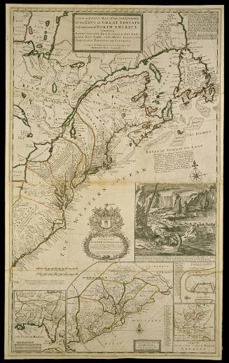
Herman Moll (1654?-1732)
1712-1730
Herman Moll (1654?-1732)
ca. 1740 (originally published 1711)
Herman Moll (1654?-1732)
1740-1745 (originally published 1715)
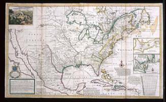
John Thornton
1723-1728, originally published ca. 1701
Joshua Fry (ca. 1700-1754) & Peter Jefferson (1708-1757)
1768; first published ca. 1753