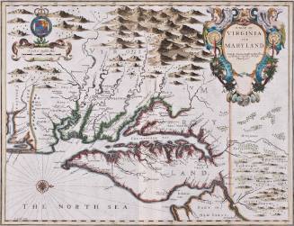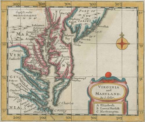
Virginia and Maryland
Date1682
Maker
John Seller
fl. 1658-1698
OriginEngland, London
MediumBlack and white line engraving with period color
DimensionsTo the neat lines: 4 5/8" x 5 5/8"
Credit LineMuseum Purchase
Object number2017-87
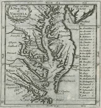
DescriptionCartouche reads: "VIRGINIA / and / MARYLAND / By I Seller. / A Elizabeth / B Lower Norfolk / C Northampton"Label TextJohn Seller, hydrographer to the King of England, decided to chas in on the success of smaller atlases like that of Robert Morden (see 2017-87 for an example) and published a smaller scale version of his" Atlas Maritimus," first published in 1675 (see 2017-85). Due to size constraints, Seller was able to name all place names that appear in Morden's map of Virginia (2017-86) except for three counties: Elizabeth, Lower Norfolk, and Northampton Counties. These appear in a clever extension of the cartouche.This copy published in William C. Wooldridge, Mapping Virginia: From the Age of Exploration to the Civil War (Charlottesville: University of Virginia Press, 2012), #77, p. 85.ProvenanceBefore 1998, Jonathan Potter (London, England); 1998, purchased by William C. Wooldridge (Suffolk, VA); 2009, purchased by the Virginia Cartographical Society (Norfolk, VA); 2017-present, purchased by the Colonial Williamsburg Foundation (Williamsburg, VA).
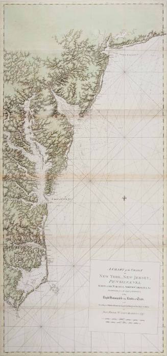
Joseph Frederick Wallet Des Barres
1780