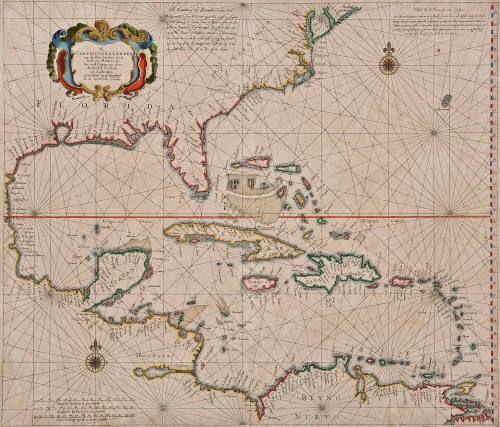
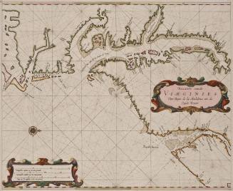
De Carybsche Eylanden van de Barbados tot de bocht van Mexico toe Nu eerst Uytgegeven door Arnold Colom tot Amsterdam op het Water by de Nieuwebrugh in de Lichtende Colom
Date1658
Maker
Arnold Colom
1624 - 1668
MediumBlack and white line engraving with period color
DimensionsTo neat lines: 21 7/8" X 24 7/8"
Credit LineMuseum Purchase
Object number2017-67
DescriptionCartouche reads: "De/ CARYBSCHE EYLANDEN/ van de Barbados tot de/ bocht van Mexico toe/ Nu eerst Vytgegeven door/ Arnold Colom/ tot Amsterdam/ op het Water by de Nieuwebrugh/ in de Lichtende Colom"Label TextThis chart was included in Arnold Colom's important sea atlas, "Zee-Atlas, ofte Water-Wereldt" first published in 1656. The large format, up-to-date cartographic information, and ornate decoration made this atlas one of the most notable Dutch atlases ever produced. It is an example of the third state. The corresponding map of the northeast is represented by 2017-65.This copy published in William C. Wooldridge, "Mapping Virginia: From the Age of Exploration to the Civil War" (Charlottesville: University of Virginia Press, 2012), #56, p. 61.ProvenanceBefore 1999, Richard B. Arkway (New York, NY); 1999, purchased by William C. Wooldridge (Norfolk, VA); 2009, purchased by the Virginia Cartographical Society (Norfolk, VA); 2017-present, purchased by the Colonial Williamsburg Foundation (Williamsburg, VA).
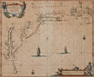
Pieter Goos (1616-1675)
1666
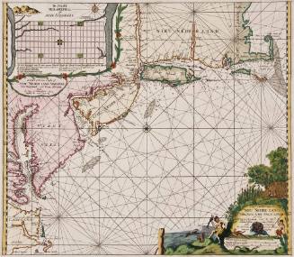
Clemendt de Longhe
1660-1685