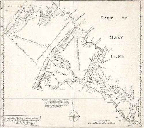
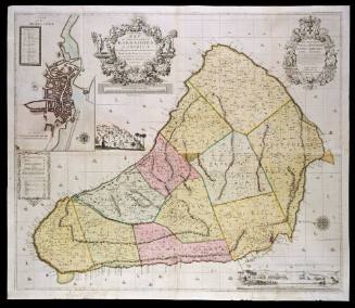
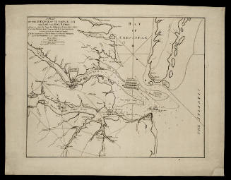
A map of the Northern Neck in Virginia situate betwixt the Rivers Patomack & Rappahanock according to a late Survey Drawn in the Year 1737
Date1745
Cartographer
William Mayo
b. 1684
Engraver
William Henry Toms
fl. 1723 - 1758
OriginEngland, London
MediumBlack and white line engraving.
DimensionsOverall: 18 1/4 × 23in. (46.4 × 58.4cm)
Credit LineGift of Mr. and Mrs. Richard F. Barry, III, Mr. and Mrs. Macon F. Brock, Mr. and Mrs. David R. Goode, Mr. and Mrs. Conrad M. Hall, Mr. and Mrs. Thomas G. Johnson, Jr., Mr. and Mrs. Charles W. Moorman, IV, and Mr. and Mrs. Richard D. Roberts.
Object number2017-220
DescriptionTitle in lower left corner: A Map of the Northern Neck in Virginia/ situate betwixt the Rivers Patomack & Rappohanock/ according to a late survey/ Drawn in the year 1737 by/ Will.m MayoProvenanceBefore 2003, Henry G. Taliaferro (New York, NY); 2003, purchased by William C. Wooldridge (Norfolk, VA); 2009, purchased by the Virginia Cartographical Society (Norfolk, VA); 2017-present, given to the Colonial Williamsburg Foundation (Williamsburg, VA).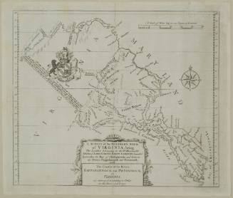
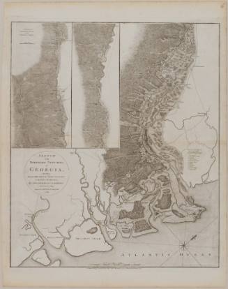
Lieutenant Sir Archibald Campbell
1780
William Faden
November 26, 1781