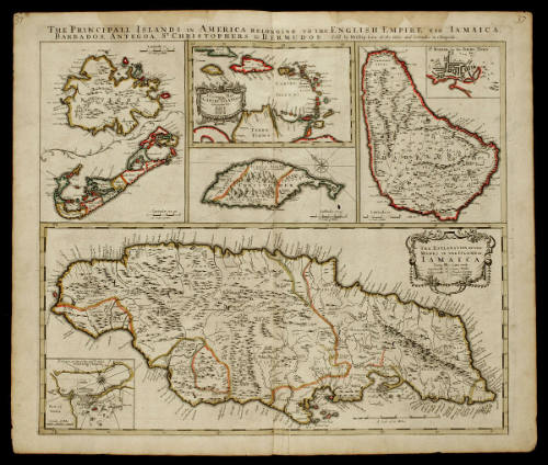
THE PRINCIPALL ISLANDS IN AMERICA BELONGING TO THE ENGLISH EMPIRE VIZ IAMAICA,/ BARBADOS, ANTEGOA, S.T CHRISTOPHERS, & BERMUDOS.
Dateca. 1698
Publisher
Phillip Lea (fl. 1666-1700, d. 1700)
Cartographer
Phillip Lea (fl. 1666-1700, d. 1700)
OriginEngland, London
MediumBlack and white line engraving with period hand color on laid paper
DimensionsOH: 24 3/4" x OW: 20 7/8"; Plate H: 19 3/8" x W: 22 1/2"
Credit LineMuseum Purchase, The Antique Collectors' Guild and The Friends of Colonial Williamsburg Collections Fund
Object number2003-90
DescriptionThe upper margin reads: "THE PRINCIPALL ISLANDS IN AMERICA BELONGING TO THE ENGLISH EMPIRE VIZ IAMAICA,/ BARBADOS, ANTEGOA, S.T CHRISTOPHERS, & BERMUDOS./ Sold by Phillip Lea at the Atlas and Hercules in Cheapside."The cartouche in the upper center map reads: "A GENERAL MAP/ of the/ CARIBY ISLANDS/ Distinguished thus./ English .E./ French .F./ Spanish .S./ Duch . D."
The cartouche on the lower map reads: "THE EXPLANATION OF THE/ MARKS IN THE ISLAND OF/ IAMAICA/ Towns/ Sugar works/ Indico works/ Cotton works/ Cacao Walke/ Craules & penns/ for hoggs & Cattel"Inscription(s)"37" at top left and top right cornersProvenanceBefore 2003, Henry G. Taliaferro (New York, NY); 2003-present, purchased by the Colonial Williamsburg Foundation (Williamsburg, VA).
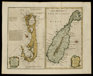
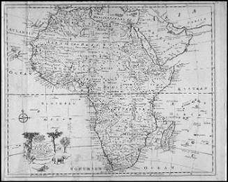
Robert Sayer (1725-1794) & John Bennett (fl. 1760-1787)
1776
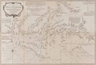
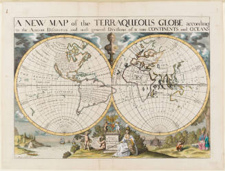
Edward Wells (1667-1727)
1700-1701
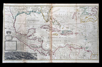
Herman Moll (1654?-1732)
1740-1745 (originally published 1715)
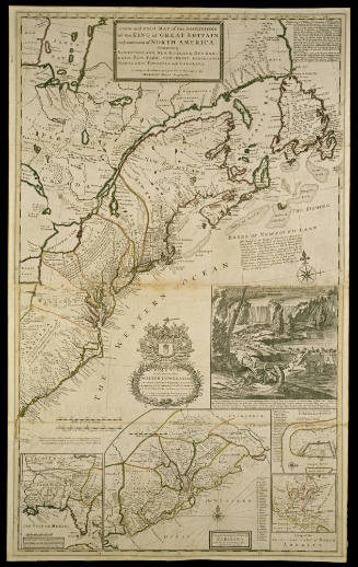
Herman Moll (1654?-1732)
After 1735; originally published 1715