
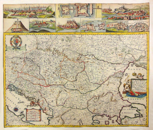
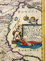
A new mapp of the Kingdom of Hungary
Date1686
Publisher
Philip Lea
Engraver
Richard Palmer
OriginEngland, London
MediumBlack and white engraving with period hand coloring
DimensionsOH: 20 3/8" OW: 24"
Credit LineMuseum Purchase, The Antique Collectors Guild
Object number2012-167
DescriptionA new mapp of the Kingdom of Hungary and the states that have been subject to it : which are at present the northern parts of Turkey in Europe.In upper left corner a dedication to George Prince of Denmark and Norway by Richard Palmer. Engraved by R. Palmer, signed lower right.l In upper part of the map nine inset views of Buda-Pest, Nagykanizsa, Nagyvarad, Nograd, Temesvar, Belgrad, Szigetvar, Gyula and Szekesfehervar. Published as a broadsheet map and in his atlas "Atlas containg ye Best maps of the several parts of teh World collected by Phil: Lea who selleth all sorts of Mathematical Books and Instruments."ProvenanceBefore 2012, Clive A. Burden Ltd. (Rickmansworth, England); 2012-present, purchased by the Colonial Williamsburg Foundation (Williamsburg, VA).
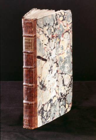
Robert Sayer (1725-1794) & John Bennett (fl. 1760-1787)
1776
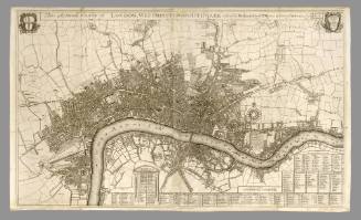
Robert Morden (d. 1703)
1700
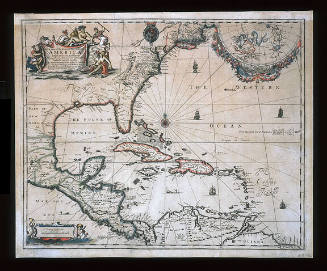
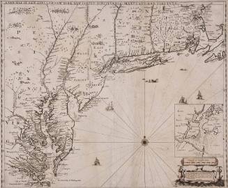
Robert Morden (d. 1703)
1685

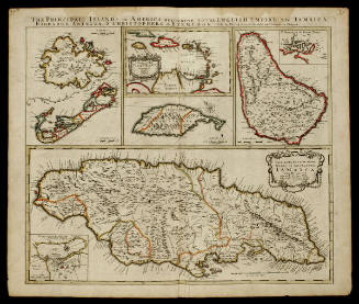
Phillip Lea (fl. 1666-1700, d. 1700)
ca. 1698

ca. 1745


Edward Wells (1667-1727)
1700-1701